
FDO Reader for MicroStation is an application for reading spatial data from a variety of spatial data sources directly from MicroStation. The program is available for MicroStation V8i and MicroStation CONNECT. The CONNECT version is currently available as a demo version.
FDO Reader makes it easy to load geometries and attributes from databases, ODBC data sources, shapefiles, and many other sources from plain MicroStation. No configuration is needed. Symbology and text styles can be set for indivudual layers. Data from multiple data sources can be combined into maps which can be loaded for selected areas.
FDO (Feature Data Objects) is based on an open API (see fdo.osgeo.org) for reading, writing and administrate geospatial information. The API uses a number of Providers to access data in the different data formats. Each provider manages a single data source.
Currently, the following providers exists:

- Oracle Spatial
- SQL Server
- MySQL
- PostGres
- ArcSDE
- Shape
- SQLite
- WFS
- WMS
- SDF (Autodesk geoformat)
- ODBC
- GDAL (open source raster)
- OGR (open source vektor)
FDO Reader can use most of these providers. Since MicroStation can manage WMS itself there is currently no support for WMS in the reader.
FDO version
The 32-bit version is using FDO 3.6.0. That version is the latest FDO version using .NET 3.5 which is used by MicroStation v8i.
The 64-bit version is using FDO 4.0.0.
Documentation
Please read the FDO Reader documentation for information on how to install and use the program.
Dataproviders
Data Providers are provided through OSGeo.org , ie as open source. These are available in 32-bit and 64- bit versions and can be downloaded at http://fdo.osgeo.org/content/downloads.
The following providers has been tested with MicroStation FDO Reader.
Oracle Spatial
Data is accessed without any configuration of client or server. Supports Oracle 9i , 10G , Oracle XE and 11g.
SQL Server
Data is accessed without any configuration of client or server.
PostGres
With the PostGIS plugin, Postgres can manage spatial data. FDO fro MicroStation can read this data in the same way as data from Oracle Spatial .
Shape
Unlike standard MicroStation which can also read Shapefiles, MicroStation FDO Reader can make text annotations, define symbology and use a view or a fence for data retrieval.
ODBC
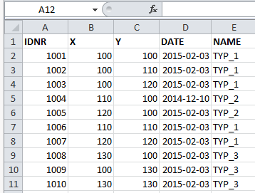
The ODBC provider can read data from Access, Excel or any other ODBC data source. If an X and Y column (and Z) exists, both point geometries and attribute data can be read, annotated and formatted.
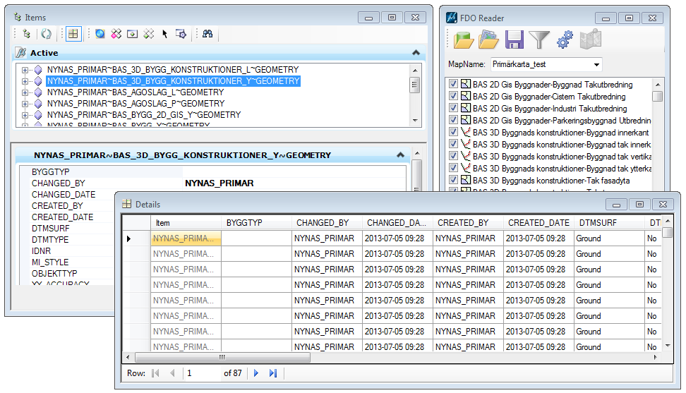
Attributes
FDO Reader does not only read geometry data, it also retrieves any attributes from the data source. The attributes are stored in a standard format which makes them accessible and searchable directly from MicroStation. MicroStation CONNECT builds on this concept and uses attributes for reports, tables, Display Rules and all kinds of searches.

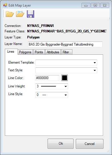
Formatting
Data can be formatted before reading. Each layer can be assigned different symbology depending on whether the layer contains lines, surfaces or points. Each layer that has text attributes can be used for annotation.
Texts
Point data can be placed as texts using data from a selected attribute. If an attribute contains text or cell rotation, the element can be rotated. Apart from points any geometry type can be annotated using the geometry center point for text placement.
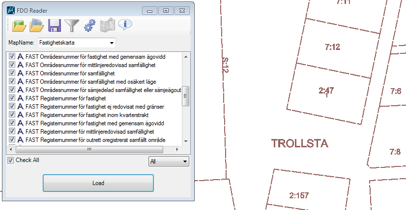
Create maps
In addition to direct reading of different data sources, FDO Reader can also use saved map definitions. A map definition is collection of map layers that defines level, symbology, annotation and data source. Each layer can be filtered using a SQL to create multiple layers from one data source (table, shape file etc). A map can consist or layers from multiple data sources. The map data is edited via dialog boxes.


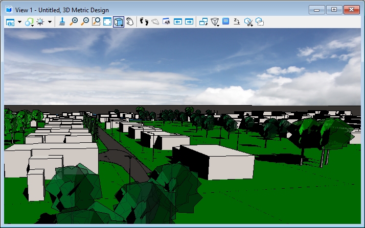
2D and 3D
The program reads both 2D- and 3D-geometries. This version supports points, lines and shapes but not solids. There is, however, possible to create solids during import by extruding 2D-polygons to solids given that there is a height attribute in the data source. By using 3D cells point geometries can also be used to create 3D data.
Genom att använda 3D-celler kan punktgeometrier användas för att skapa 3D-data.
32 or 64 bit version?
MicroStation v8i uses the 32-bit versionen and MicroStation CONNECT uses the 64-bit version. Any databas clients must match MicroStation, i.e. MicroStation V8i uses 32-bit Oracle client and MicroStation CONNECT 64-bit. The same goes for ODBC.