GIS in MicroStation
Very often I get questions from people working with GIS and mapping if it possible to do one thing or another using MicroStation. Since the people asking are GIS-people the answer will often be ”you need Bentley Map to do that”.
In this post I would like to show a couple of functions that might be new for some of you and that could count as GIS-functionality.
Data Cleanup
Data Cleanup is found under the menu [Utilities – Data Cleanup]. This dialog contains a couple of classic topology functions which can be used to clean up messy geometries.
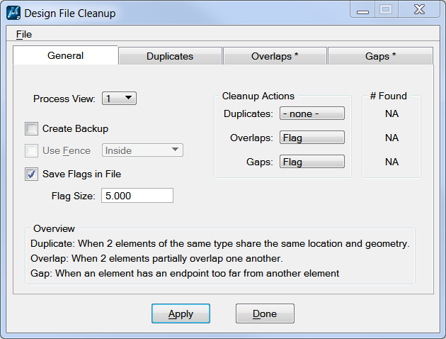
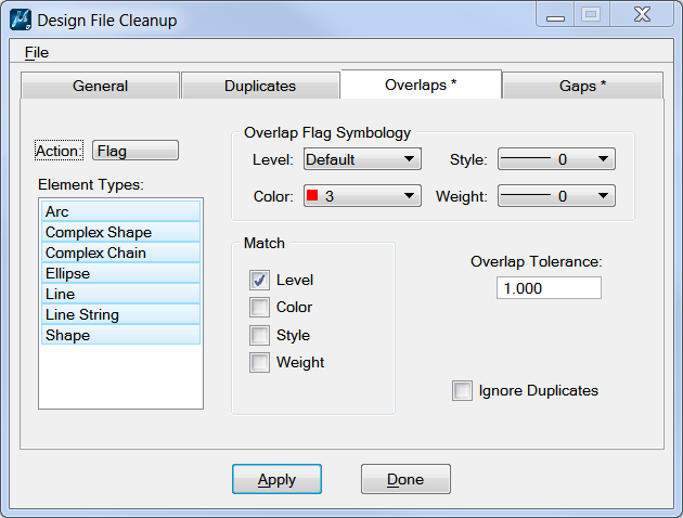
The dialog can be used to look for duplicates, overlaps and gaps. You can select to mark, delete och put the elements in a selection set.
In the example we have selected to mark overlaps and put the result on the layer Default using a red circle.
Facet Curve
Facet Curve is found under [Tools – Crurves – Curve Utilities].
For many GIS-purposes arcs and curves can cause problems and linestrings is to be prefered. The functions is called Facet Curve and can be used to segment curvs, arcs and ellipses in different ways.
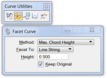
Method tells how the segmenting should be done. The options are:
- Equal Arc Length
- Equal Chord Length
- Fixed Chord Length
- Max Chord Height
- Equal Parameter Length
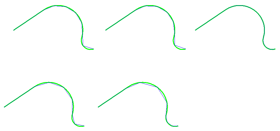
The image shows the result using the different methods. Max Chord Height is the same as in Bentley Map and let the user enter how much the segment may differ from the curve.
Thematic maps
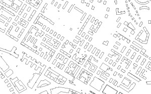
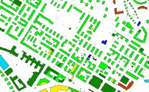
Thematic maps is often used in GIS to illustrate different properties. MicroStation CONNECT has introduced something called Display Rules. With Display Rules it is possible to change the symbology of an element based on different properties. This could be geometry properties (area, length etc) or the property of an item. In the eaxmple all buildings has a separate color based on the the property BUILDING_TYPE.
Read more about Display Rules in this article.

This Post Has 0 Comments